Bumbuli
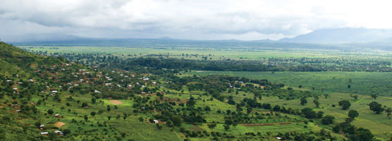
Bumbuli is a constituency located within Lushoto district, Tanga Region in the north-eastern corner of the East African country of Tanzania. Lushoto and Mlalo are the remaining constituencies found within Lushoto district. Apart from Lushoto, there are 7 other districts found in the region, namely Muheza, Pangani, Korogwe, Tanga, Handeni, Kilindi and Mkinga. Lushoto district is bordered to the northeast by country of Kenya, to the east by the Muheza district, to the northwest by the Kilimanjaro Region and to the south by the Korogwe district.
The Lushoto district is administratively divided into 44 wards, with 16 of these located within Bumbuli constituency. The 16 wards are Dule, Nkongoi, Baga, Bumbuli, Funta, Mamba, Mayo, Mbuzii, Mgwashi, Milingano, Mponde, Soni, Tamota, Vuga, Mahezangulu, and Usambara.
With 40 million people, Tanzania is the largest country in East Africa, bordered by Kenya and Uganda to the north; Rwanda, Burundi, and the Democratic Republic of the Congo (DRC) to the west; and Zambia, Malawi, and Mozambique to the south. The Indian Ocean is to the east of the country. Tanzania is a land of spectacular beauty with the most alluring tourist destinations such as Serengeti, Ngorongoro, Selous and Zanzibar. It is a union formed in 1964 between the mainland Tanganyika, and the Zanzibar Isles consisting of Unguja and Pemba.
A land of geographical extremes, Tanzania houses the highest peak (Mount Kilimanjaro) and the lowest point (the lake bed of Lake Tanganyika) on the African continent. Home to a flourishing democracy and prospering economy, the country is well known for its peace and security. Despite being a diverse mix of religious and ethnic groups, Tanzanians are united by common language, Kiswahili and a strong sense of nationalism.

Copyright © 2010 - January Makamba - All rights reserved. Conforms to W3C Standard XHTML & CSS